
Tutorials
HYCOM Guide
How to download HYCOM ocean current data directly from the source, without using the built-in Downloader.
Overview
HYCOM (HYbrid Coordinate Ocean Model) provides the ocean current data STFM uses as its main driver of transport. Currents are split into two separate variables that must both be downloaded:
- U component — the eastward (east-west) current velocity
- V component — the northward (north-south) current velocity
These are downloaded from two separate server addresses. Downloading only one gives you half the current vector the model needs both to compute direction and speed correctly.
Both are served through HYCOM's NetCDF Subset Service (NCSS), which lets you request a specific area, depth range, and time period instead of downloading the entire global dataset.
Important limit: HYCOM's own service notice says not to request more than one day at a time through this server. For a multi-day simulation, repeat the request below once per day and download a separate file for each don't try to set a wide date range in a single request.
Accessing the server
- Open the current model access page at hycom.org to confirm the active dataset name (currently ESPC-D-V02) and the correct year folder HYCOM rotates the dataset path as new model versions and years come online, so the exact link changes over time.
- The NCSS request form for the U component lives at a URL following this pattern:
https://ncss.hycom.org/thredds/ncss/grid/ESPC-D-V02/u3z/[year]/dataset.html - The V component follows the same pattern, with v3z in place of u3z.
The request form
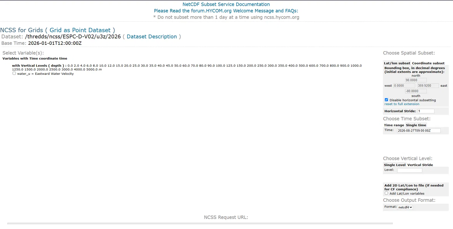
Opening the link shows a form like this variables on the left, area/time/depth/format options on the right:
Downloading the U component
-
Under Select Variable(s), check the box next to water_u = Eastward Water Velocity. It is not checked by default.

The variable checkbox — easy to miss, since the page loads with nothing selected. - Under Choose Spatial Subset, the Disable horizontal subsetting box is checked by default this downloads the entire global grid. Uncheck it, then enter your area's North / South / East / West coordinates in decimal degrees, matching the area you'll use for the STFM grid.
-
Under Choose Vertical Level, leave the Level field blank to get every available depth (needed for 3D simulations), or type a single value such as
0.0for surface-only data (2D simulations).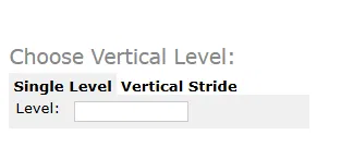
Leave Level blank for all depths, or enter one value for a single depth. -
Under Choose Time Subset, set the date and time remembering the one-day-per-request limit above. The field defaults to the current date and time; change it to match the day you need.
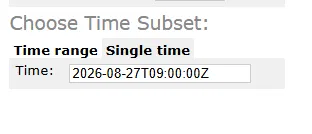
Time defaults to right now set it to the day you actually need. - Under Choose Output Format, leave it set to netcdf4.
-
Check the NCSS Request URL preview at the bottom it shows exactly what will be requested then click Submit.

The generated request URL, with Submit and Reset underneath. - Save the downloaded file into your project's RAW_DATA/ folder.
Downloading the V component
Repeat the exact same steps on the V component's form (the v3z link, checking water_v instead of water_u), using the same area, depth range, and day as the U component. The two files need to line up exactly, or the Converter won't be able to combine them into a single current field.
Save it into the same project's RAW_DATA/ folder, alongside the U component file. If your simulation spans several days, you'll end up with one U file and one V file per day.
Next steps
With both files in RAW_DATA/, open the STFM Converter tool and select the HYCOM card matching your dataset version to combine and clip both components to your project's grid. See the Converter section of the main Getting Started guide for that step.
More Guides
Continue with GFS winds
For a realistic simulation, pair this with wind data too.